

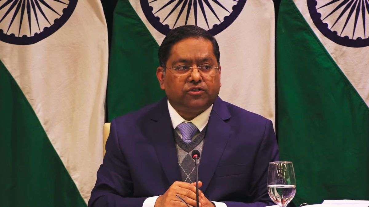
The Ministry of External Affairs responded to the UN General Assembly resolution on equal-area world map. Spokesperson of the Ministry of External Affairs Randhir Jaiswal said that India has voted in favour of the United Nations General Assembly resolution on equal-area cartographic representation.
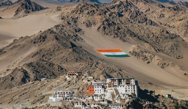
Mr Jaiswal further added that India’s sovereign territory, including the Union Territories of Jammu and Kashmir and Ladakh, must be depicted in accordance with India’s official map. He also clarified that any inaccurate or misleading depiction is unacceptable. He said the government’s position on India’s sovereignty and territorial integrity is clear, consistent and non-negotiable.
Mr Jaiswal said that the UN General Assembly adopted a resolution titled “Correct the Map Rebalancing Global Cartographic Representation and Promoting Equitable Representation of the World’s Regions, Particularly Africa” on 4th of this month. He said, the purpose of this is to encourage the use of equal-area map projections that preserve the relative sizes of continental landmasses.
The Spokesperson said, India voted in favour of the resolution and also made an explanation of vote stressing on the underlying principle of promoting equal – area cartographic representation. He highlighted that the resolution does not constitute endorsement of any specific map, projection, or depiction of national boundaries.